Remote sensing data is more accurate! New Breakthroughs in Geospatial Information Technology in China | Geography | China
On June 27th, the 2023 Geographic Information Software Technology Conference being held in Beijing released China's latest independently developed cross platform remote sensing geographic information system integration software, which will contribute to the construction and development of Digital China.
This software integrates satellite remote sensing data with geographic information system software analysis, achieving rapid processing and analysis, efficient storage, management, and distribution sharing of massive remote sensing images. It greatly shortens the time from image acquisition to application, improves the accuracy of remote sensing data, and provides more powerful data services for the application needs of various industries.
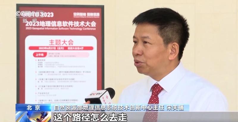
Song Guanfu, Director of the Geographic Information System Technology Innovation Center of the Ministry of Natural Resources: For example, when we are delivering express delivery, I have 100 packages in one car and I need to deliver to 100 customers. So, the locations of these 100 customers are all there. How can I go to these 100 points and the path to go? This is the most efficient way. These complex problems need to be solved through GIS.
With the continuous development of three-dimensional geographic information technology in China, and the integration with new generation information technologies such as big data, artificial intelligence, 5G, and blockchain, the application in natural resource management and monitoring, national spatial planning, etc. is becoming more and more in-depth and extensive. The integration of remote sensing software technology and geographic information systems will create greater value for the development of the national digital economy and digital upgrading.
Li Xiaobo, Director of the Academic Committee of the Information Center of the Ministry of Natural Resources: Many of our social and economic activities are related to this. When I travel, including our predictions of disasters and our own understanding of the operation of a city, it is all based on a dynamic grasp of the information in time and space.


